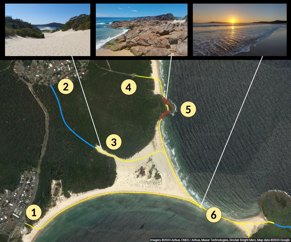
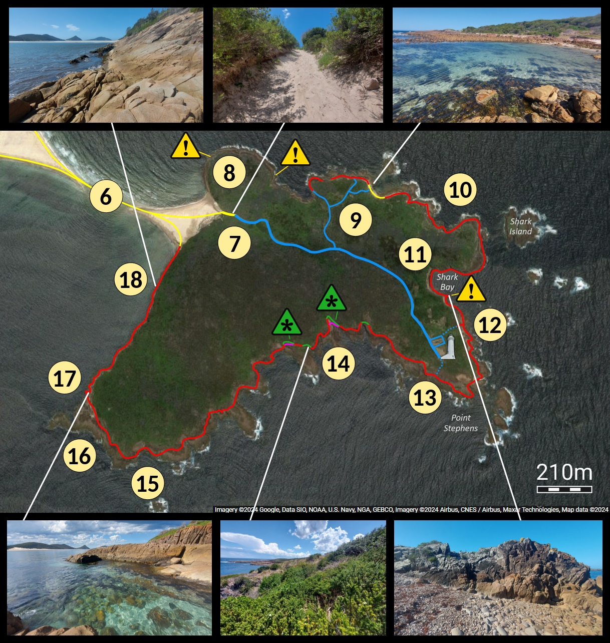
Yellow lines are along sand.
Blue lines are tracks (thicker for wide tracks, dotted for faint or narrow tracks).
Red lines are rock hopping areas without a track.
Green lines are off track areas through bush.
Magenta lines are alternate routes avoiding the bush.
![]() indicates difficult places to traverse.
indicates difficult places to traverse.
![]() indicates thick bush that is hard to pass through.
indicates thick bush that is hard to pass through.
This would be a bad time to cross! (video)
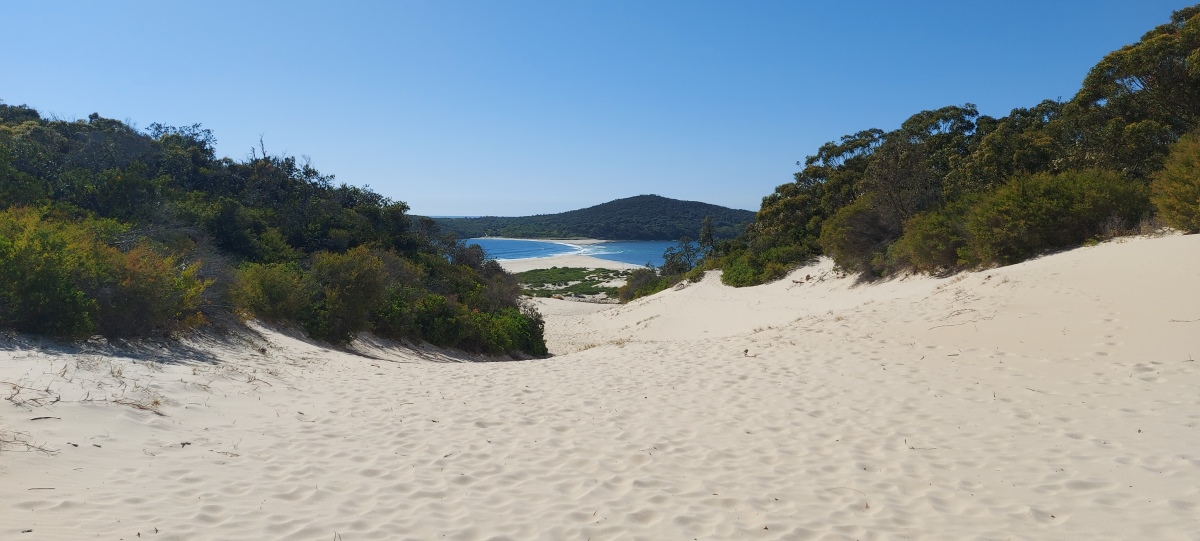
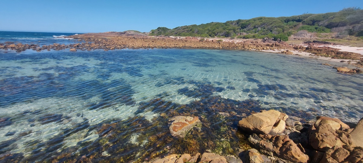
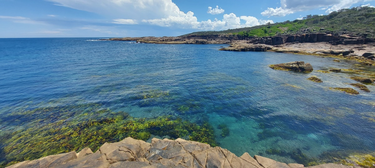
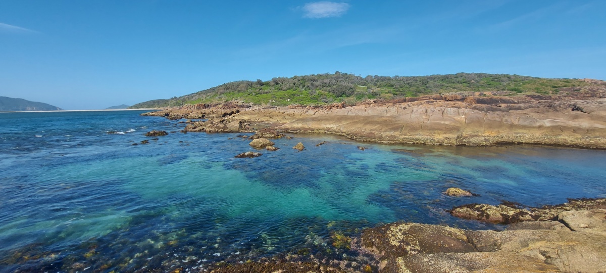
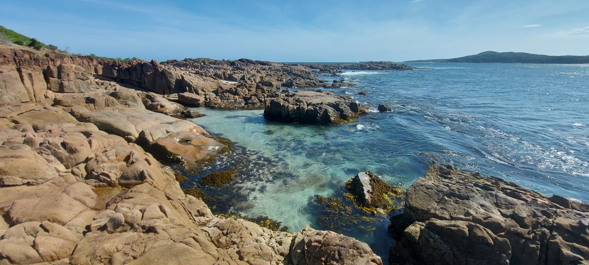
There is a side trail part way along the main track that splits into three ⑨. The rightmost trail leads to a rocky beach with a large ocean pool suitable for paddling (the second most beautiful spot on the island in my opinion).
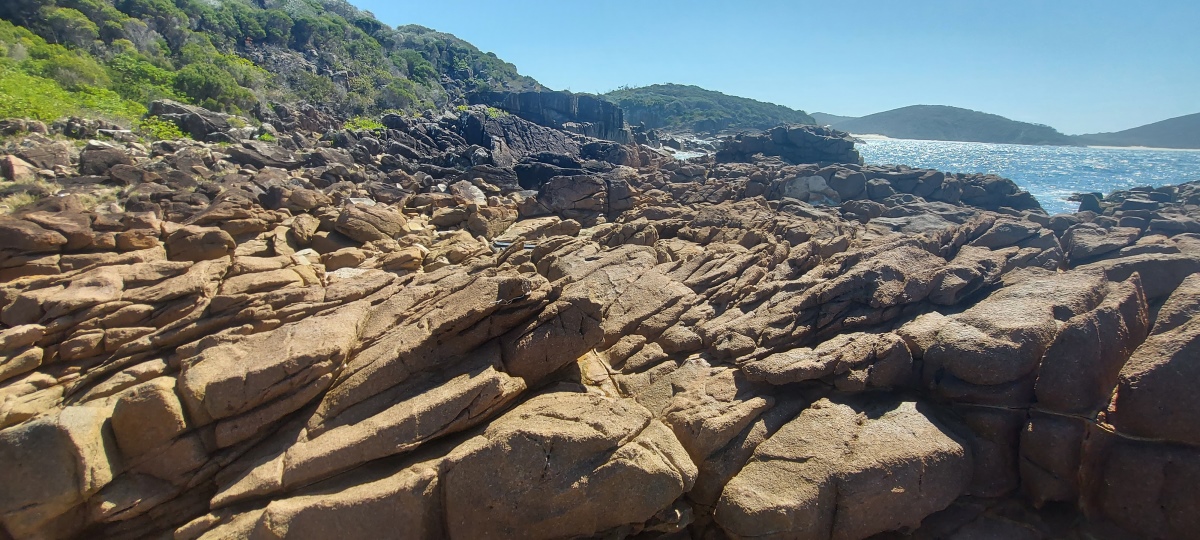
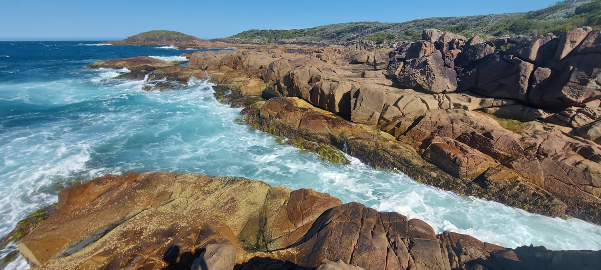
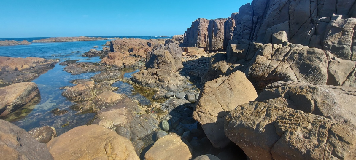
It is possible to rock hop around most of the coast but it can be quite challenging, with some difficult terrain such as small cliffs and dense bush. The northeast coast ⑧ is not recommended due to the difficulty of the obstacles there. There is also a high rock near Shark Bay ⑪ which requires some confidence in basic rock climbing.
If you plan on doing the southwest section between ⑱ and the lighthouse ⑬, it might be wise to do a recon to get a feel for the difficulty level before attempting the whole route e.g. just from the spit to ⑰ (the most beautiful spot on the island in my view). The thick bush around ⑭ is a fairly major obstacle.
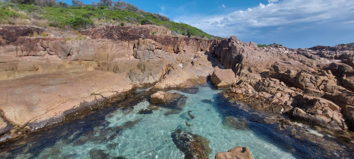
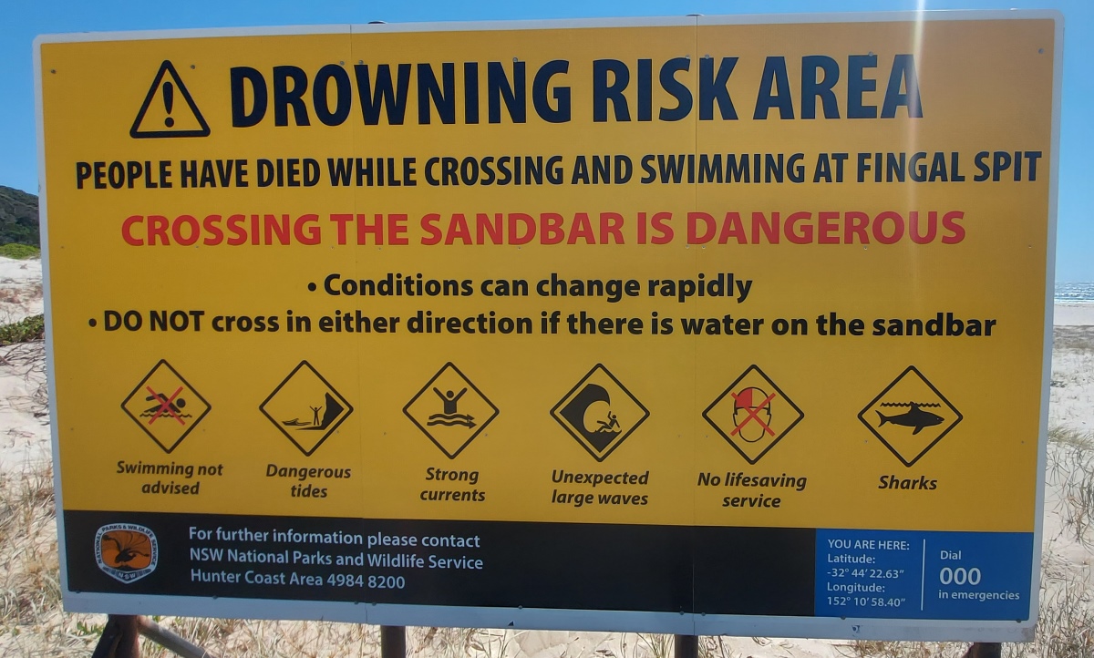
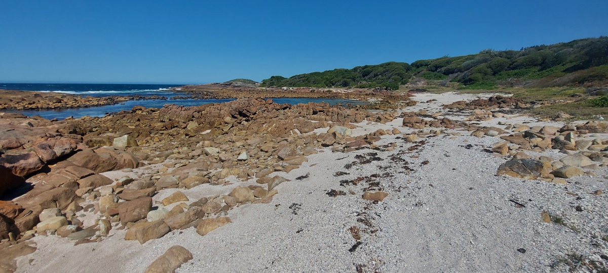
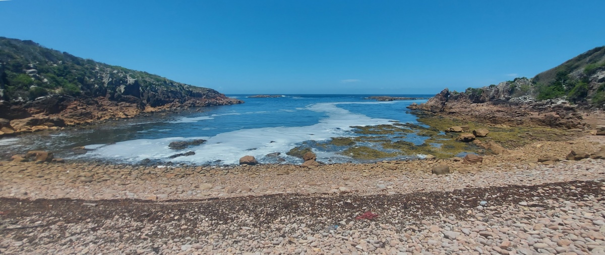
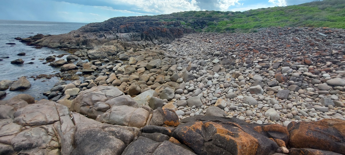
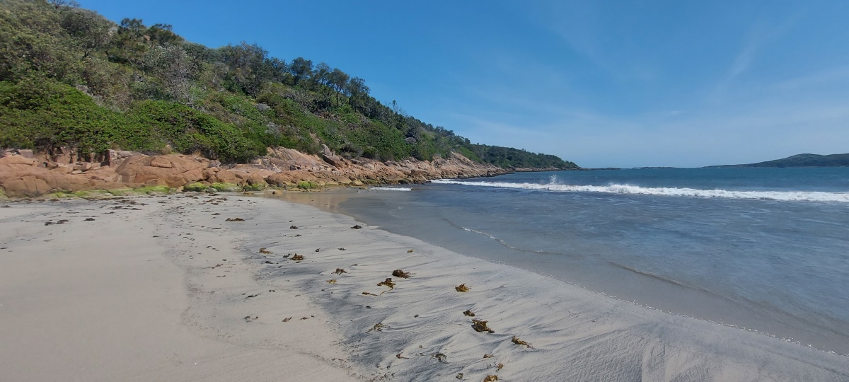
Go down the sandy trail to the beach, then head right and find your way across the rocks at the south end ⑤. There are two sets of rocks with a sandy area between them. The first set is fairly easy, but can be bypassed to the left if you dodge the waves.
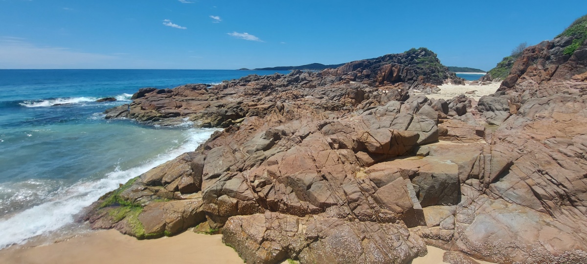
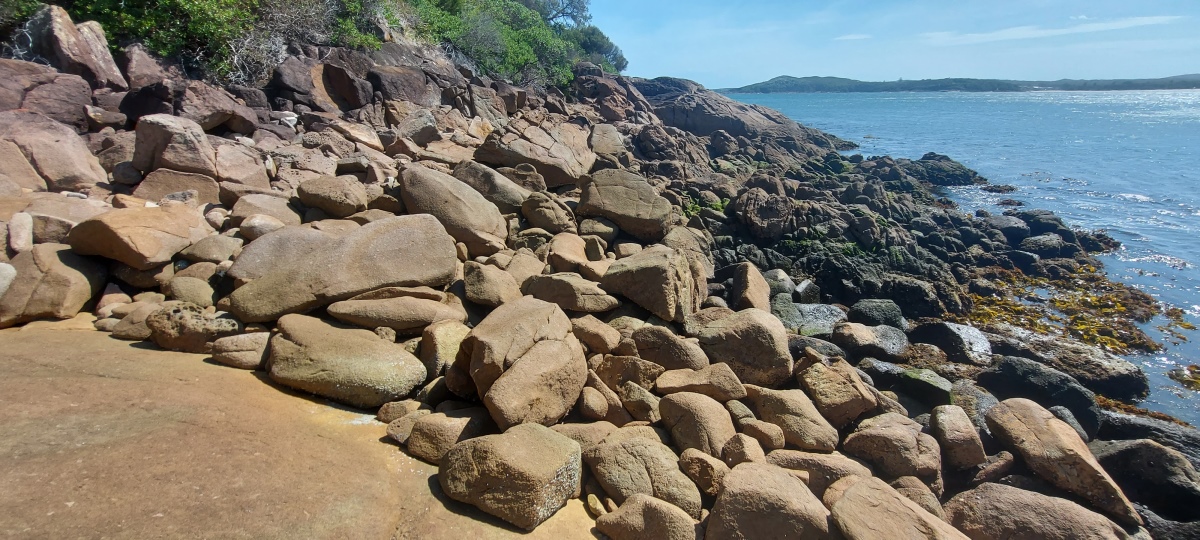
The second set has some potentially loose rocks but isn’t very long. At high tide it is difficult to get past the rock at the end, but it is fine at other times.
Time to reach the island from ...
— ① Fingal Beach Carpark: 30 minutes
— ② Ocean Beach Road: 40 minutes
— ④ Box Beach Parking Area: 25 - 35 minutes
Then ...
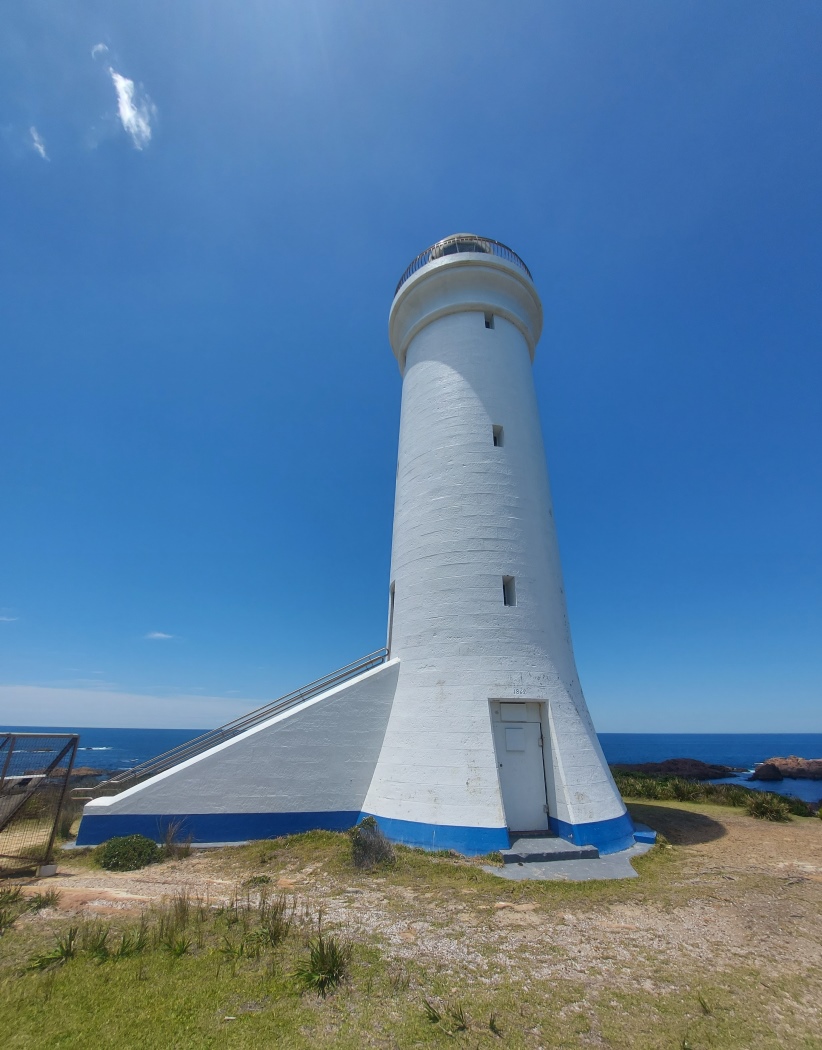
— to the lighthouse ⑬ via the main track: 15 minutes
— to the beach/pool ⑨ via the side trail: 10 minutes
— to the rockpool ⑰ via the coast ⑱: 25 - 45 minutes
— to the lighthouse ⑬ via the coast ⑱-⑭: 2.5 - 4 hours
Travelling between the lighthouse ⑬ and the beach/pool ⑨ via the coast ⑫-⑩ takes 1.5 - 3 hours, but can be reduced by half an hour using the short cut trail ⑫ and excluding ⑫-⑬.
It should be clear that there is not enough time to go around the whole coast from ⑨ to ⑱ (or vice versa) unless (1) there is an extremely low tide (0-0.2 m) and (2) you are already familiar with the route, in particular the bush and cliffs around ⑭ and the tall cliff near Shark Bay ⑪.
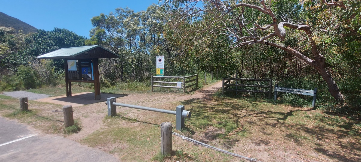
See Starting Points – Ocean Beach Trail
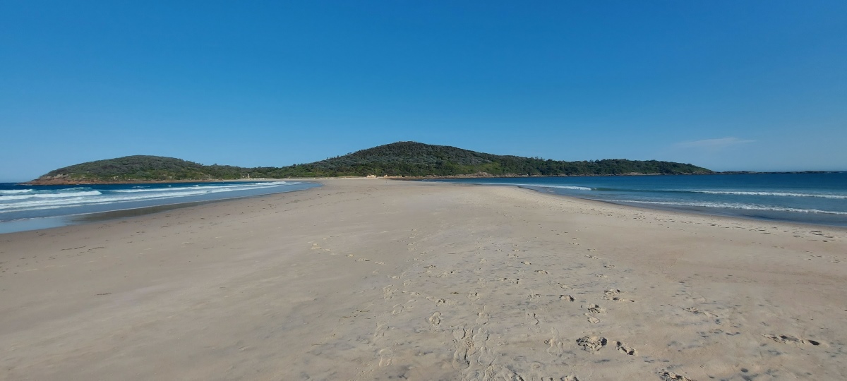
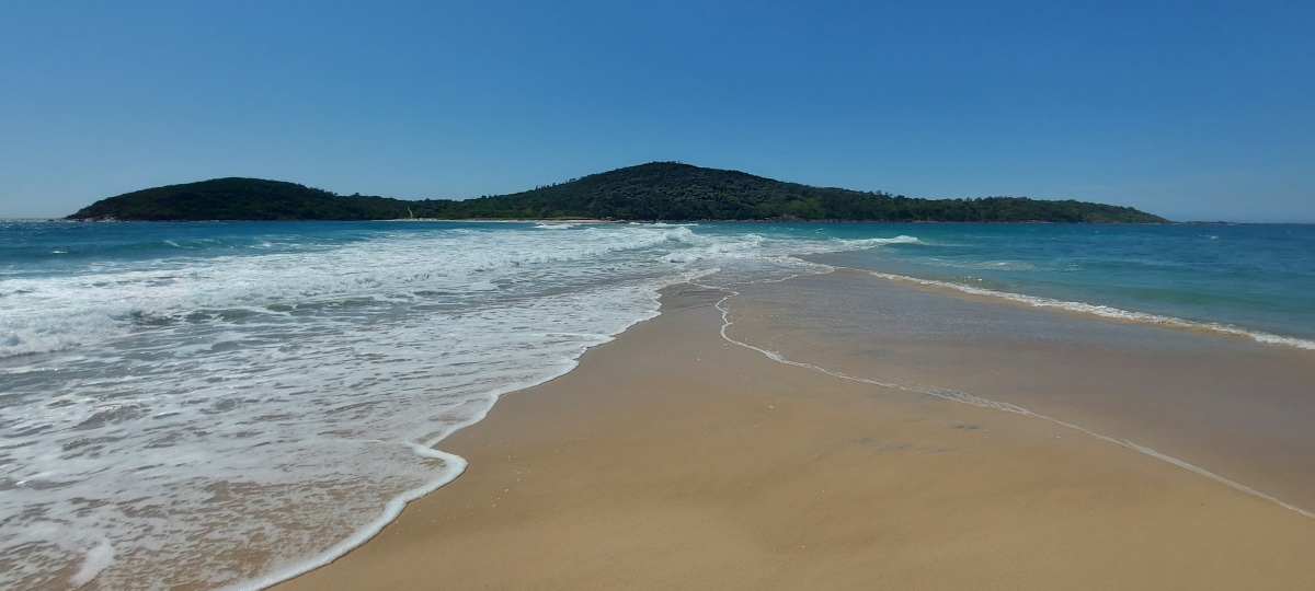
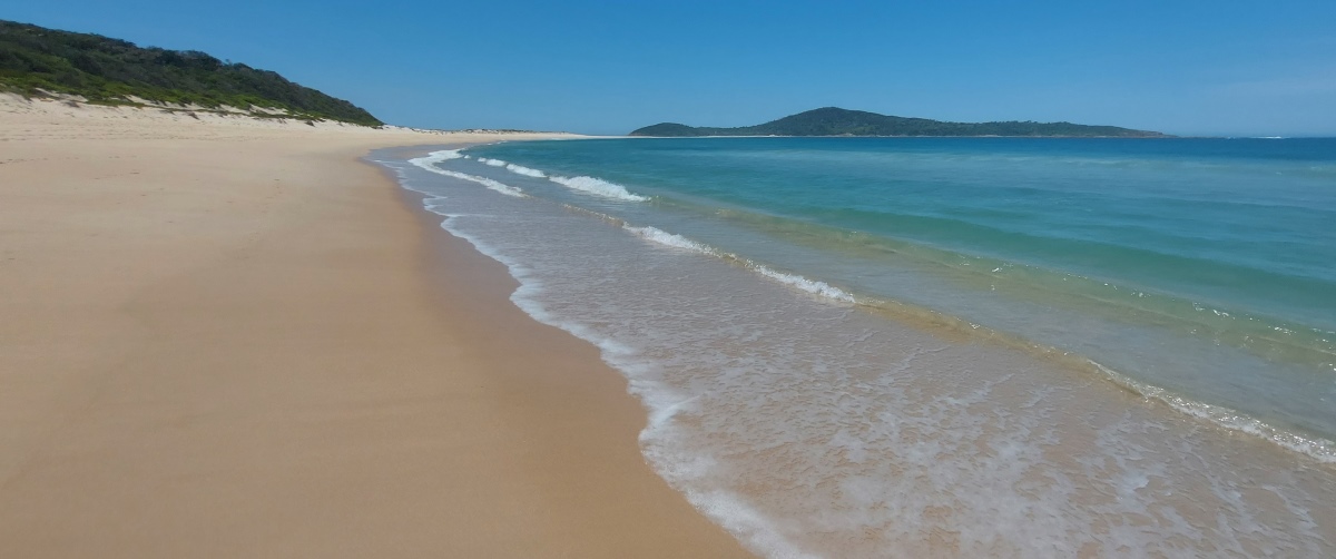
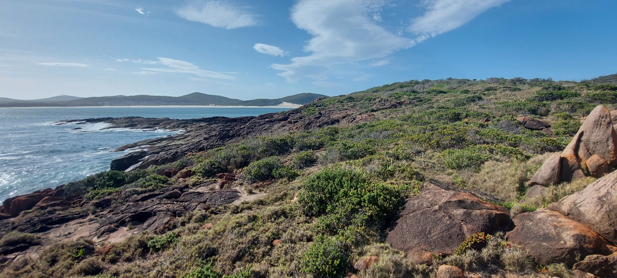
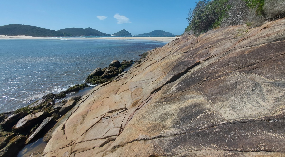
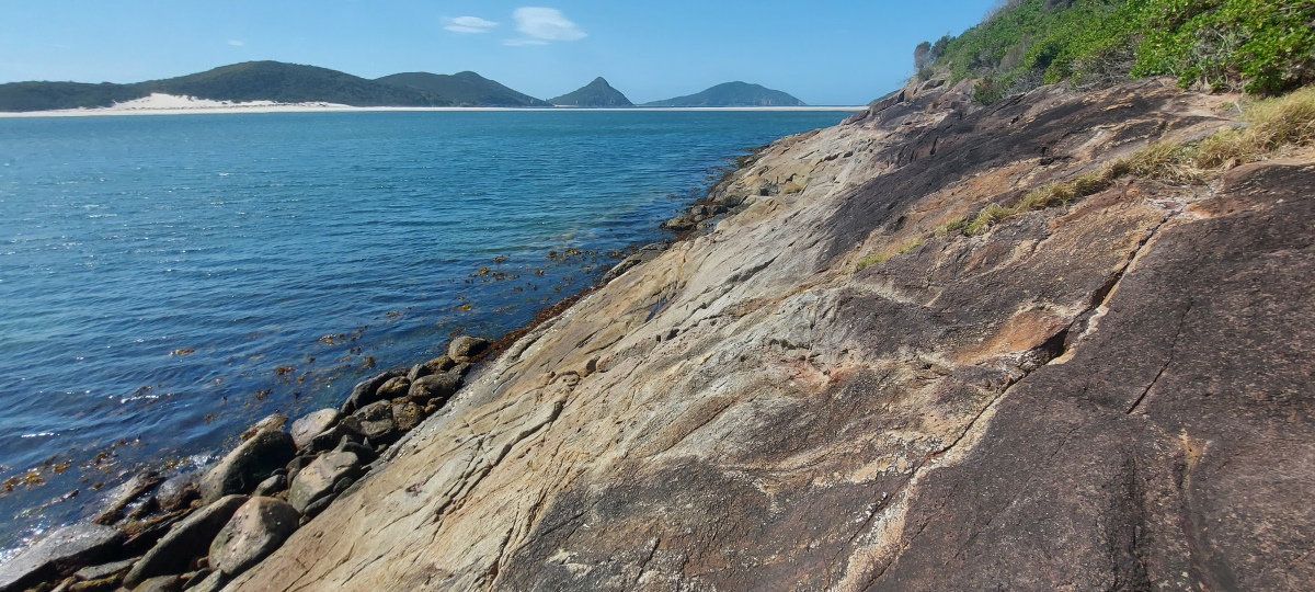
To the north there is a good view of Tomaree Head (the pointy mountain) and Yacaaba Headland just to its right.
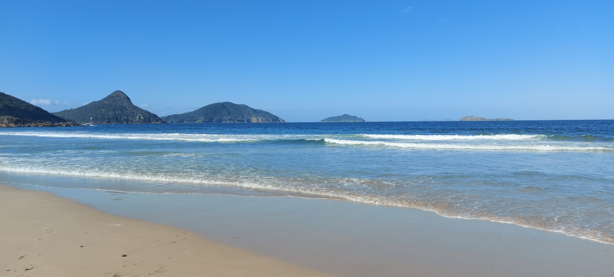
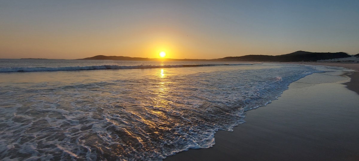
The spit can be a great place to see sunsets over the water when the timing is right.
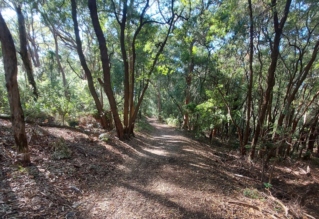
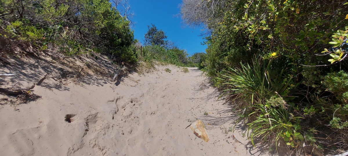
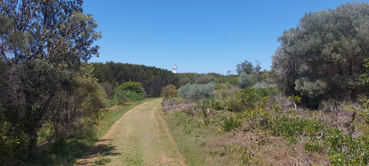
After climbing up a sand hill, the track to the lighthouse is level.
The trail is mostly exposed but has some shady sections.
The northwest coast of the island is not recommended due to two major obstacles.
The first is a crevase that is risky to climb around because of the sloping rock above it, without much to hold onto.
Further east there is a steep cliff without many footholds. This area is exposed to waves even at low tide.
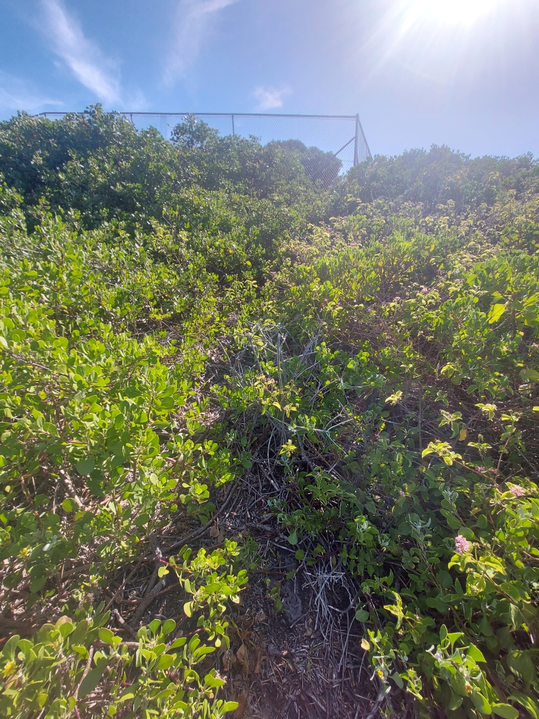
Avoiding the cliff by going over the adjacent hill becomes extremely difficult due to dense vegetation and spikey lantana in the area.
There is an obvious side trail to the left of the main lighthouse trail, which splits in two after a few hundred metres; the right hand track splits again, creating three trails altogether.
The leftmost trail ends above a small bay. Rock hopping to the right leads to the top of an impassable cliff.
View from the cliff.

The middle trail goes to another rocky area.
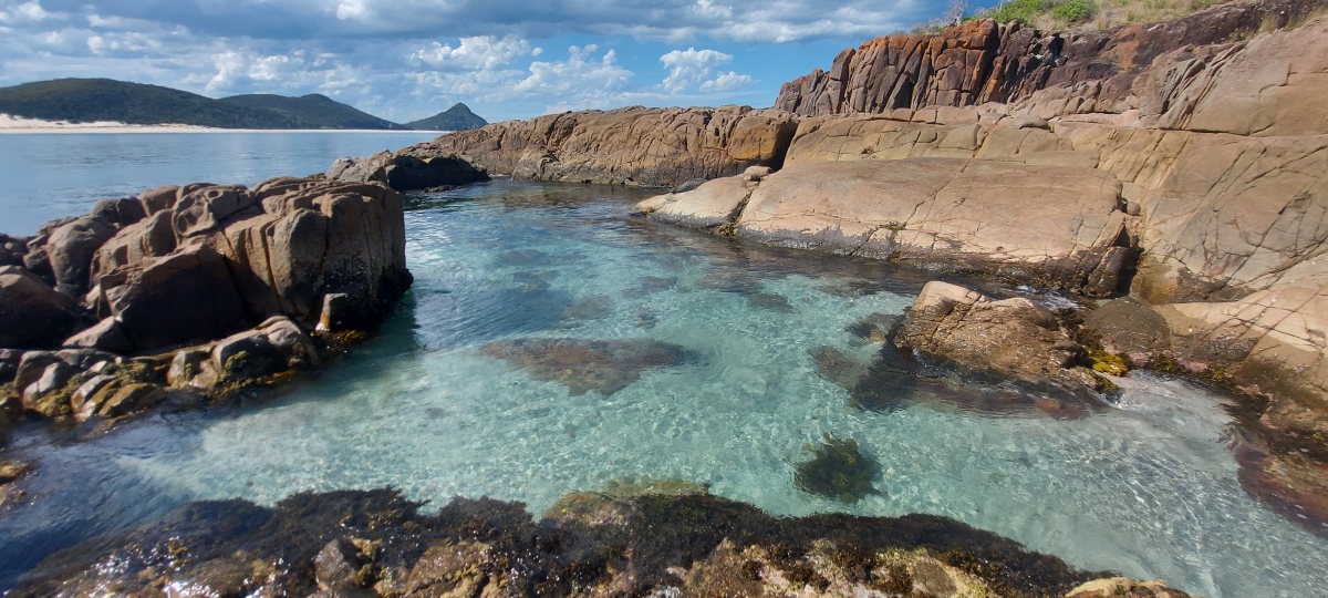
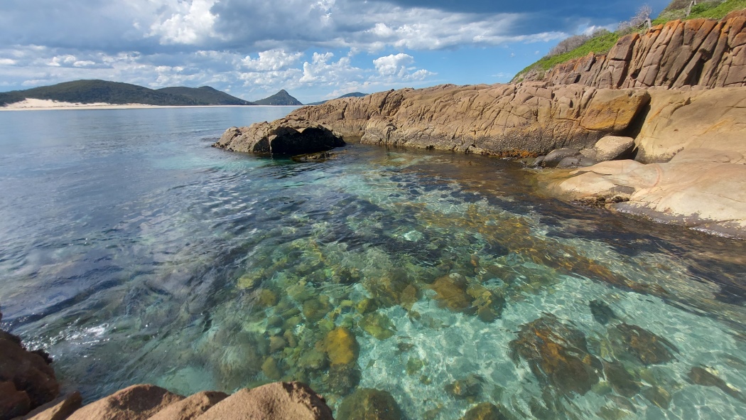
The rightmost trail leads to a rock strewn beach beside a large ocean pool, which is deep enough to paddle in.
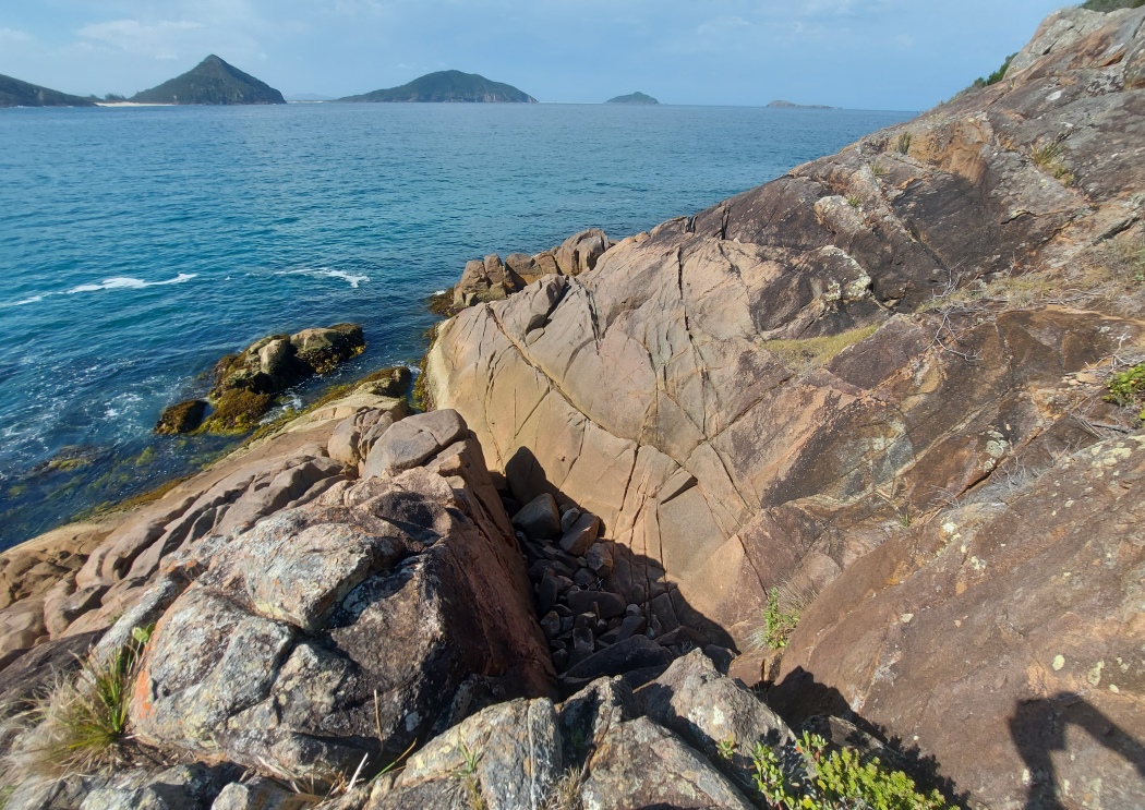
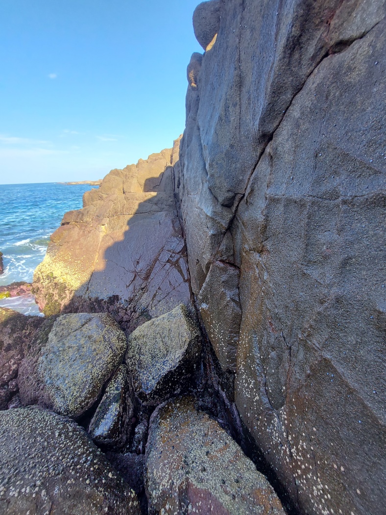
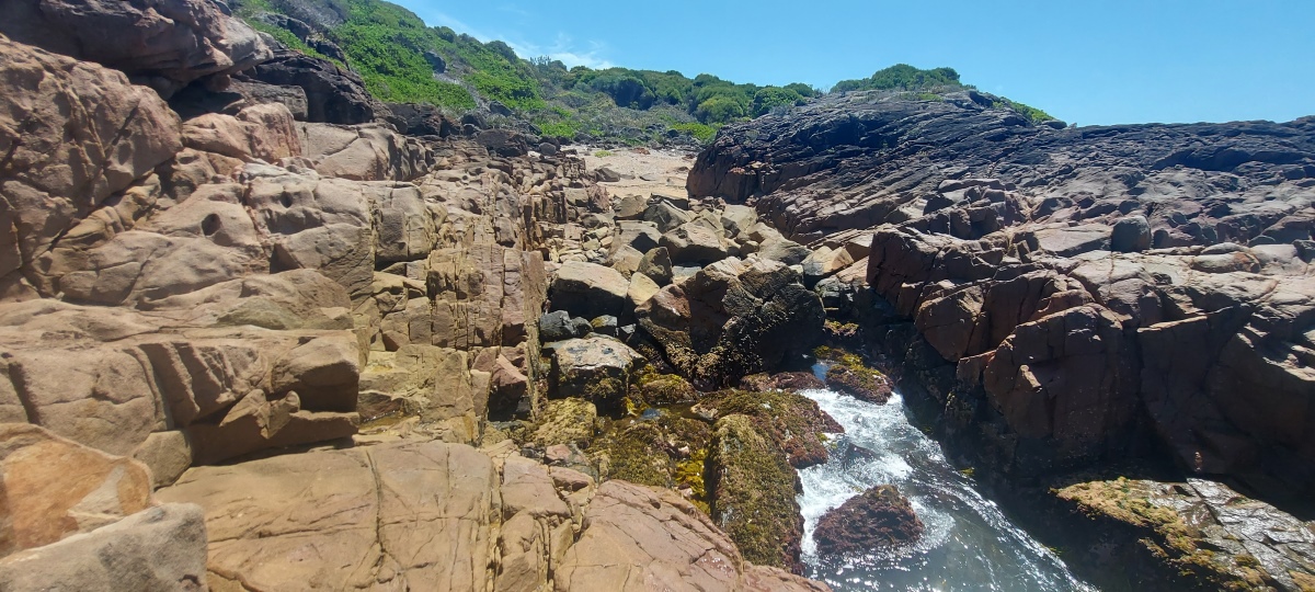
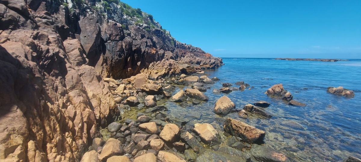
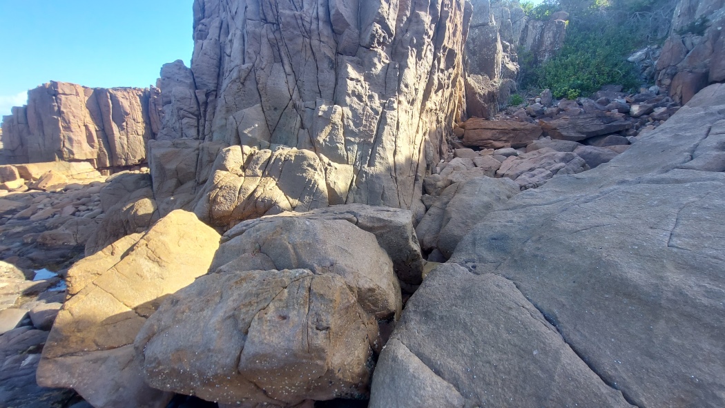
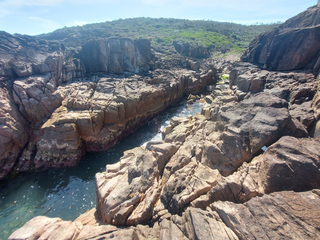
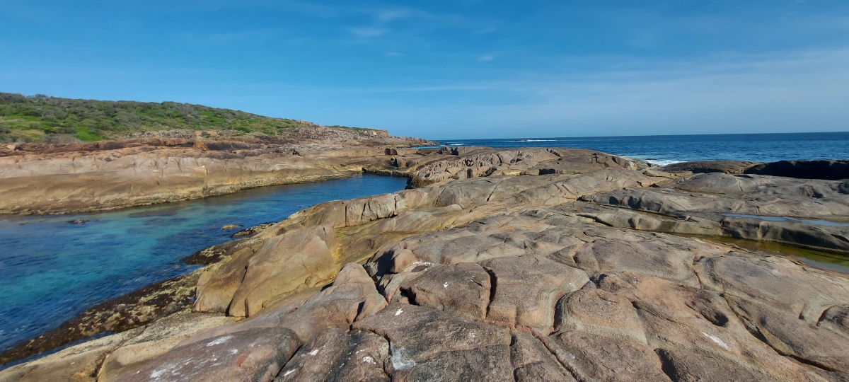
Around the next corner from the beach ⑨ there is an inlet that requires some climbing (down the right hand rocks in the second photo), but it is not difficult.
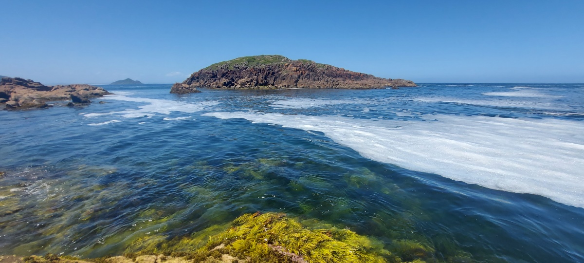
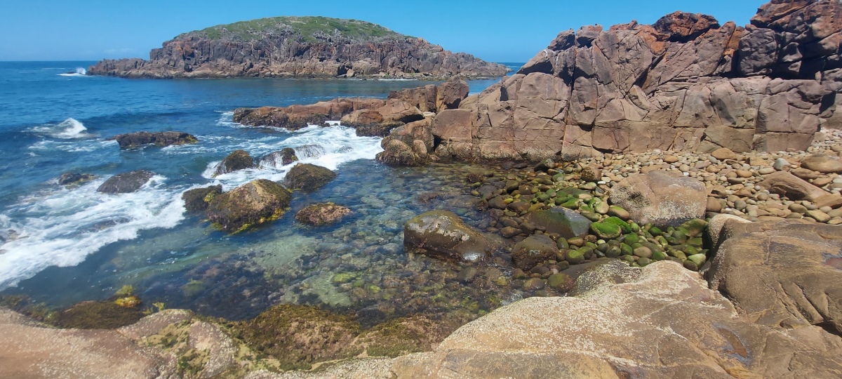
Shark Island itself isn’t particularly distinctive.
The round rocks in this area can be slippery.
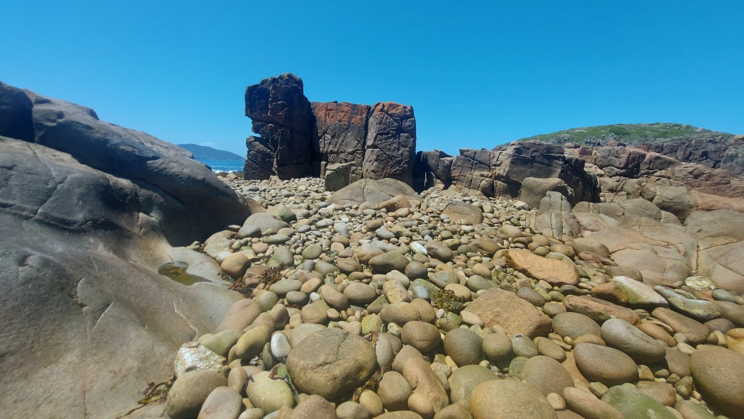
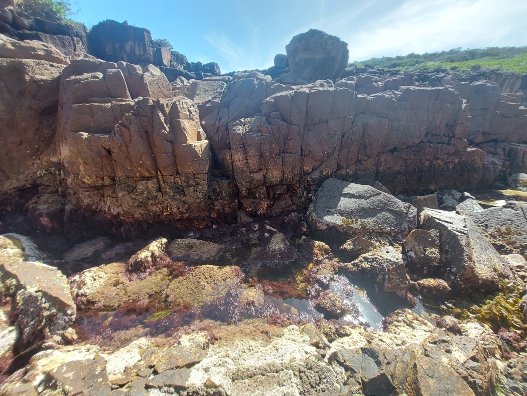
This is a pebbly area with a challenge on both sides.
Traversing the rocks to the north (the left side) is not as hard as it might look, with one difficult spot where the rocks can be slippery – more so when the water is higher.
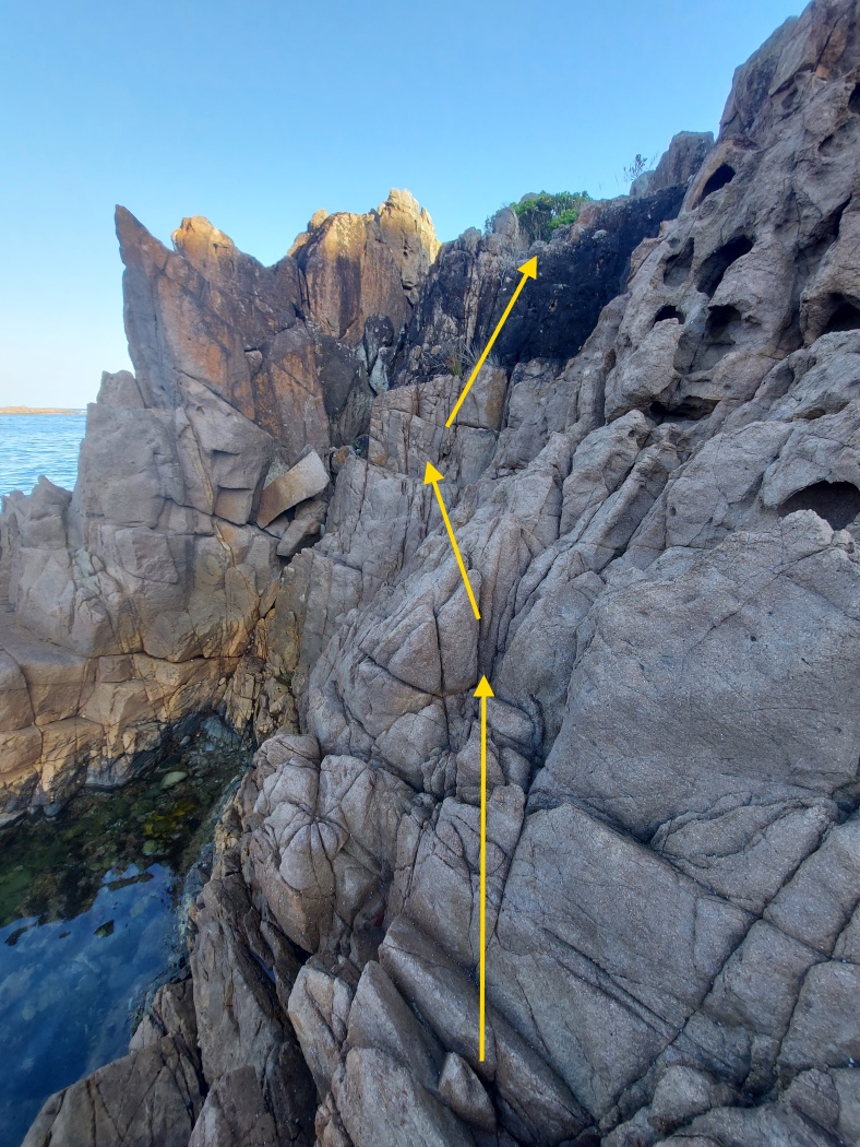
To the south (right) of the bay there is a tall rock that is effectively a double sided cliff. It is not possible to go around it beside the water, since there is a gap on the far side that is too wide to cross.
It is easier to climb from the Shark Bay side because the handholds and footholds are more visible. The route is indicated with arrows.
Looking down from the top.
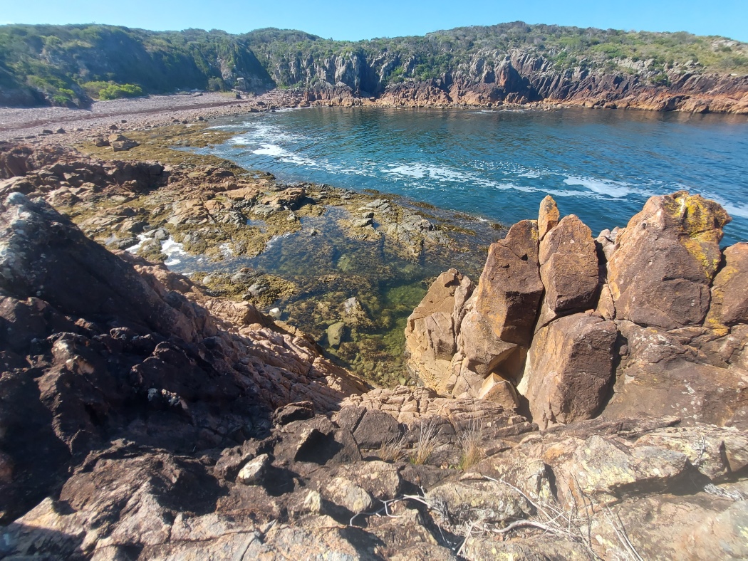
From the other side.

A bit further south there are some rocks to cross that can be slippery when the water gets higher.
It may be possible to bypass them by scrambling over the rocks to the right (untried).
There is a rectangular fenced off area near the lighthouse. A faint trail leads from one corner down to the rocks, passing through low bushes.
Beware of random holes in the ground.

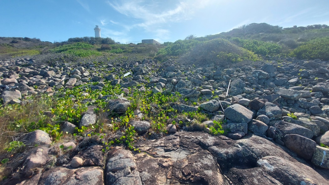
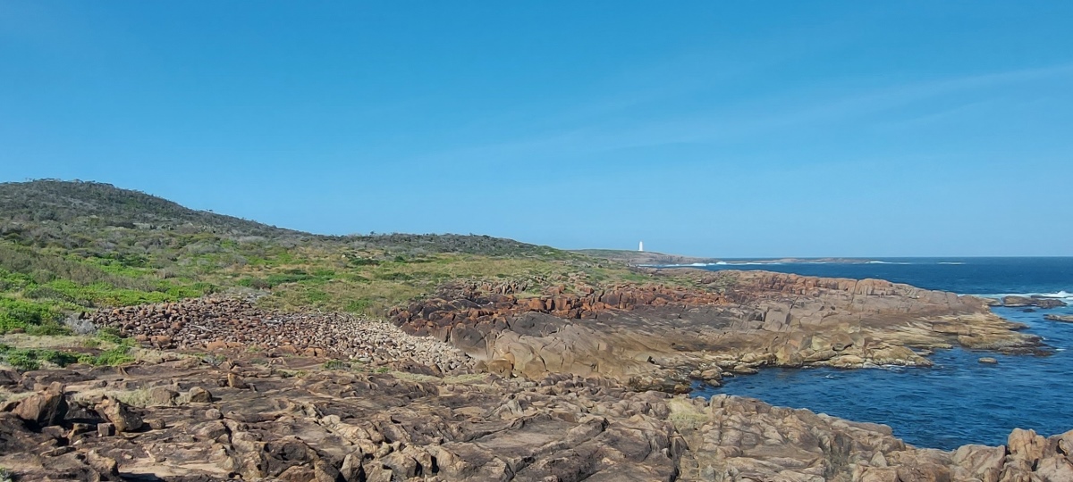
The lighthouse is visible from many points on the island — as far as ⑮.
Just beyond the lighthouse there is a narrow path down to the rocks. Exploring the area reveals some nice rock pools.

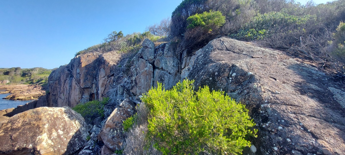
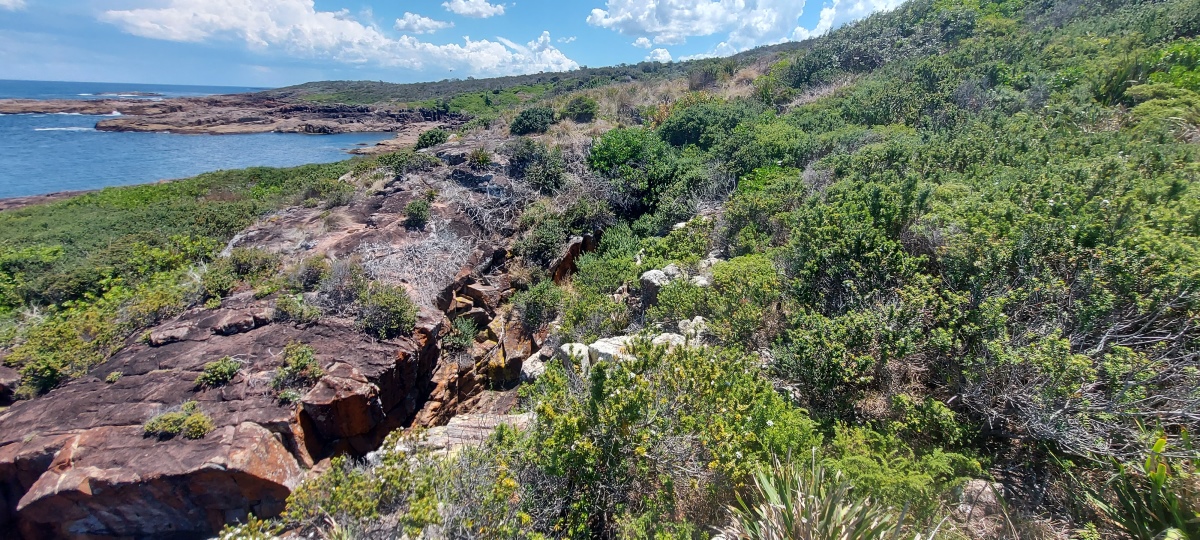
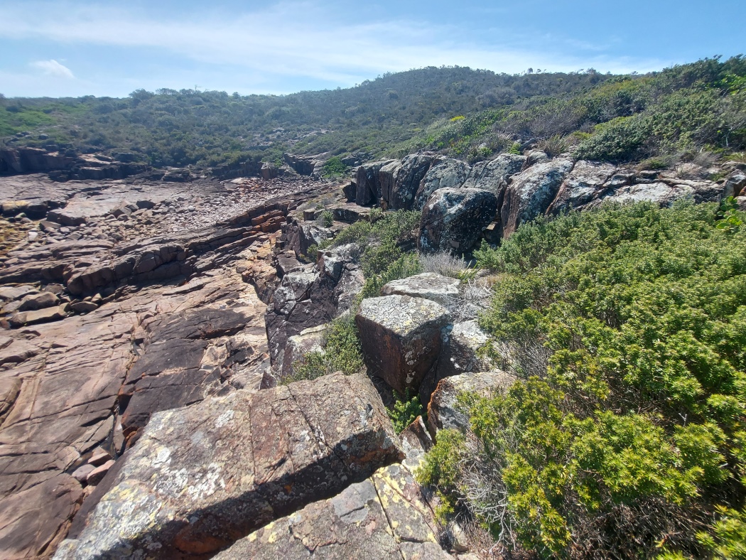
A few sections of dense vegetation make this area challenging to get through, particularly near cliff edges. There are alternative routes to avoid some of the bush (marked in magenta on the map), but they have their own challenges.
This cliff is the easternmost ![]() marked on the map.
The bush route involves going to the end of the cliff (on the left) then along the top. The bush is quite dense.
marked on the map.
The bush route involves going to the end of the cliff (on the left) then along the top. The bush is quite dense.
Alternatively, when the water is low enough it is possible to climb down into the channel and back up the other side, then along the edge of the channel up to the top. The rocks within the channel can be slippery.
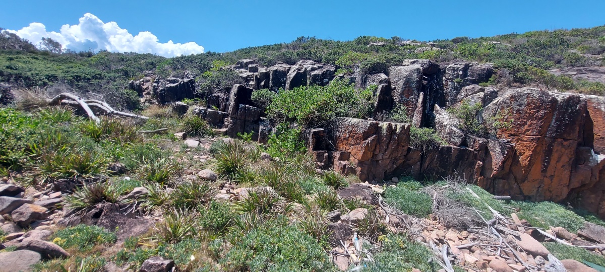
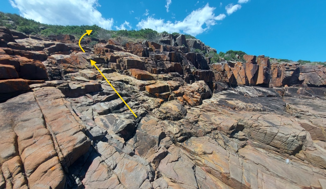
This is the westernmost ![]() marked on the map.
The bush route is indicated with arrows. The bush is thick but manageable.
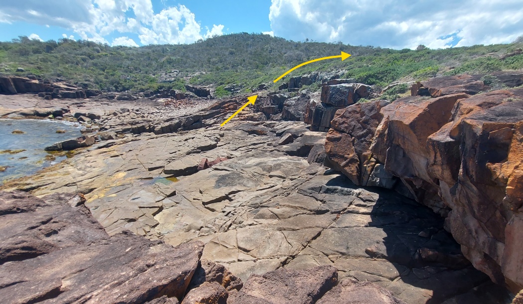
marked on the map.
The bush route is indicated with arrows. The bush is thick but manageable.
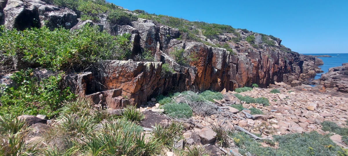
Looking from the other direction.
Alternatively, it is possible to avoid the bush by hopping across the standing rocks at the edge of the cliff.
There is a good view from the other end of the cliff.
Near the southernmost point of the island there is a rugged cliff with many hand and footholds, making it fairly straightforward to climb up or down.
From the top, the lighthouse is just visible in the distance.
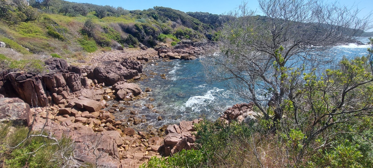
A barren rocky peninsula sticks out here, separated from the island by a pretty inlet.
There are several levels of cliffs to the southeast.

The cliffs are all climbable.
The final ascent is shown below (going right around the cliff gets too close to the water).

The cliffs can be mostly bypassed via a higher grassy area.
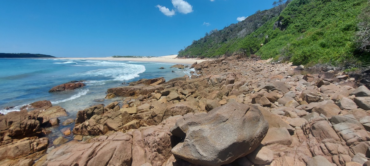
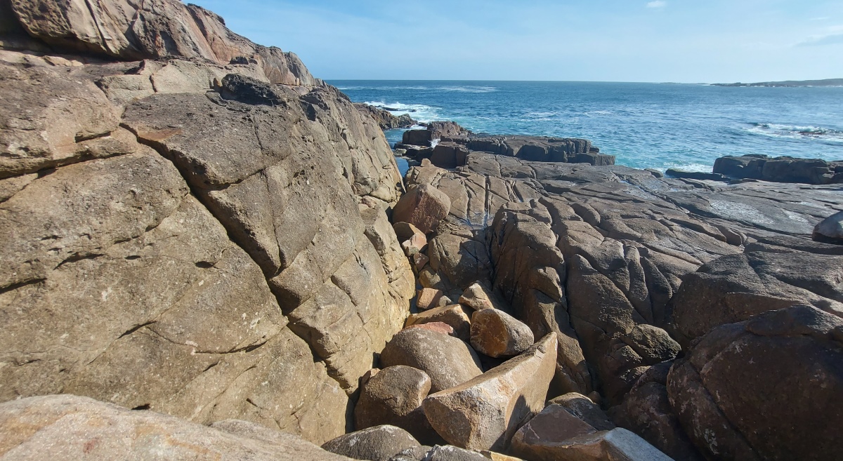
Heading south (right) from the spit is doable but challenging.
A lot of rock hopping is involved.
Some parts are more bumpy than others.
There are a couple of sections with sloping rocks to cross over, which requires shoes with good grip. Using handholds can help. It may be easier to cross near the bottom of the slope. Recent rain could make this area more risky.
Another sloping section further on – the rough surface helps.
Send questions or comments to:
davidfisher@australiaonline.net.au